
What is the Plan?
A neighbourhood plan puts in place planning policy for a neighbourhood area (in this case Silverdale Parish) to guide future development. A neighbourhood plan is about the use and development of land and may contain a vision, aims, planning policies, proposals for improving the area or providing new facilities, or allocation of key sites for specific kinds of development. It may deal with a wide range of social, economic and environmental issues (such as housing, employment, design, heritage and transport) or it may focus on one or two issues only.
Evidence Base Documents
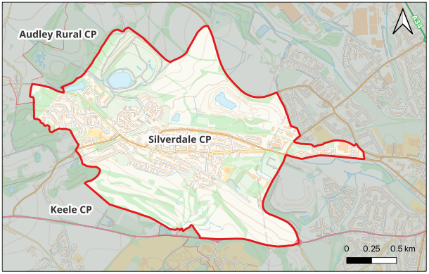
Below you can find the documents and data that have been produced/gathered so far as part of the evidence base for the Silverdale Neighbourhood Plan.
-
Housing Needs Assessment – April 2023, prepared by AECOM
-
Silverdale Parish Council’s Neighbourhood Plan Proposals Sept 2023
-
Area Profile for Silverdale Ward from 2011 Census (PDF File)
-
Area Profile for Silverdale Ward from 2011 Census (at the ONS Nomis website)
-
Office for National Statistics (ONS) Area Profile for Silverdale Ward from 2021 Census
-
Ecology Maps for Silverdale from Staffordshire Ecology Records 2023
-
Ecological Appraisal & HSI Former Keele Golf Course Ponds 2023
-
Lyme Park Masterplan – from the Newcastle under Lyme Borough Council Draft Local Plan 2020-2040
-
Draft Silverdale Neighbourhood Plan: Introduction, Visions and Aims – Feb 2025
-
Silverdale Design Guidance and Codes– March 2025, prepared by AECOM
Aerial Photography
Silverdale Parish Council commisioned Aerial photography using a drone survey to help residents recognise their own environments and to show the whole of Silverdale Neighbourhood Area.
Neighbourhood Plan Photo Gallery